/Applications & Services
Smart Cities & Urban Mobility

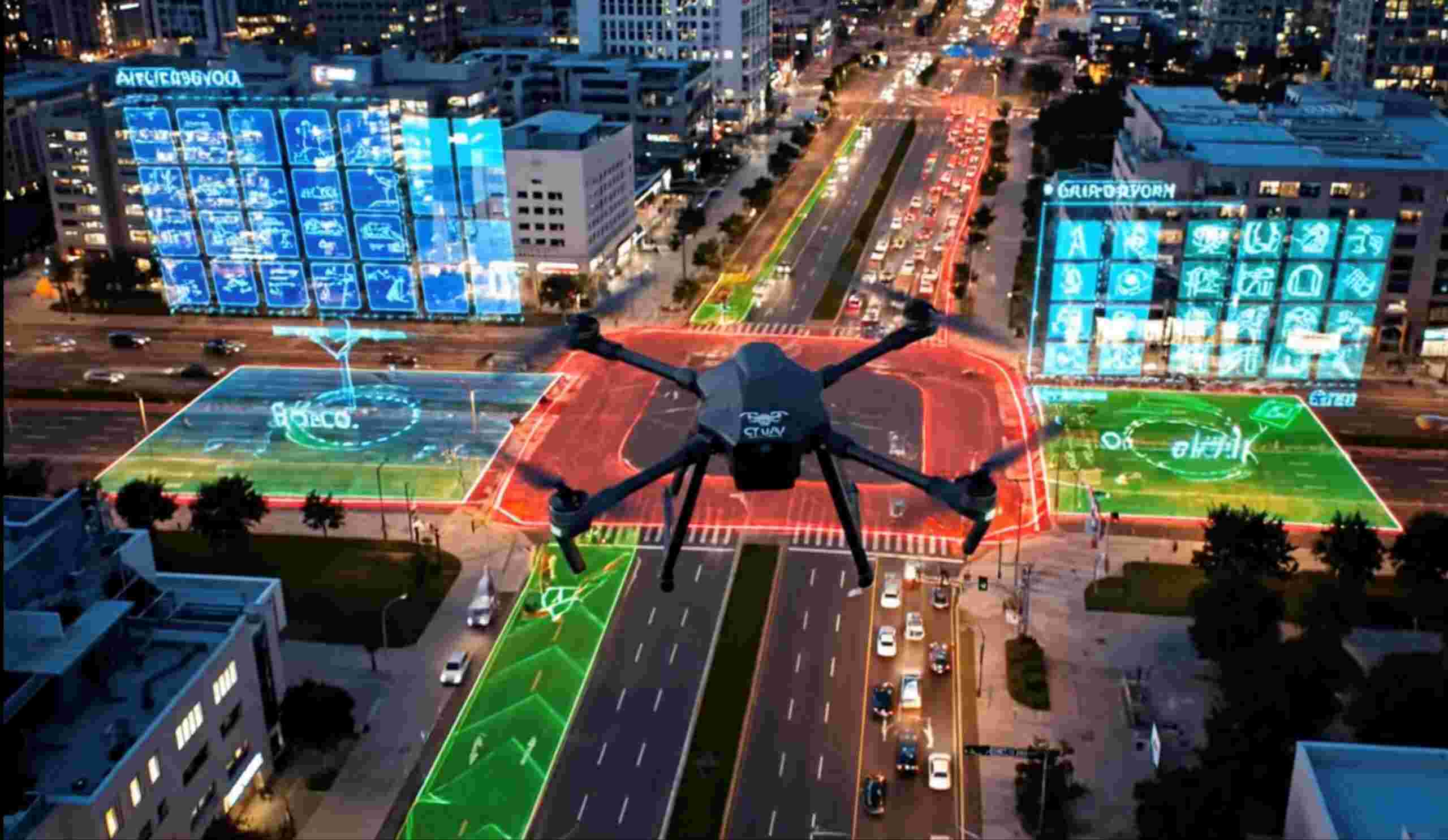
1. Smart Urban Planning & Digital Twin
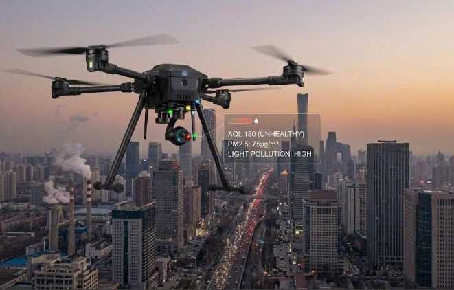
UAVs measure integrated air quality indicators to assess people's quality of life.
Inspecting urban utility pipelines using infrared UAVs to detect leaks and abnormal heat.
Supporting urban planning using RTK UAVs to capture high-resolution 3D imagery.
Assessing green urban development using multispectral UAVs to analyze green coverage and eco zones.
Monitoring urban renovation projects using RTK UAVs to record progress and structural changes.
2. UAV Traffic System & Urban Air Mobility
Aviation Infrastructure Management: 3D Airspace Operating System.
Supporting urban UAV logistics coordination using VTOL UAVs with RTK and radar sensors.
UAV FOD Vision & Runway Ops Orchestration.
School Safety Micro‑Corridor.
Detecting obstacles along UAV taxi routes using LiDAR and collision-avoidance radar.
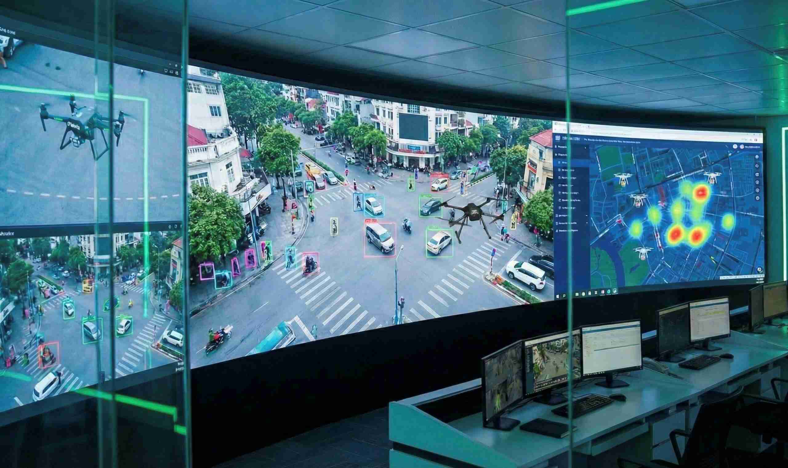
Integrating UAV data into smart traffic centers via real-time imagery and geolocation.
Managing urban UAV landing pads using AI UAVs to monitor takeoffs, landings, and air traffic.
Providing on-demand flying taxi services using autonomous eVTOL UAVs for urban transport.
3D collision avoidance LiDAR + radar system for eVTOL taxis.
Urban vertiport ops.
3. Smart Traffic & Safety
UAV system for traffic management.
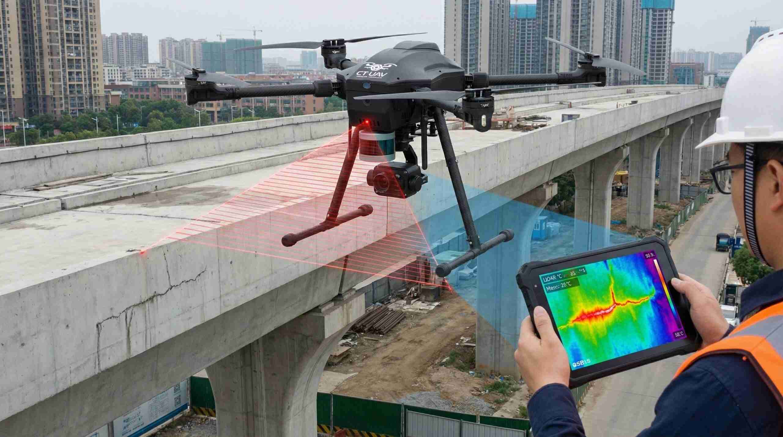
LiDAR + Thermal UAV monitoring of elevated rails and bridges.
Bus-stop shade analysis for passenger comfort.
Macro imaging of expansion bolts on steel bridges.
Urban noise assessment using UAVs equipped with micro sound sensors.
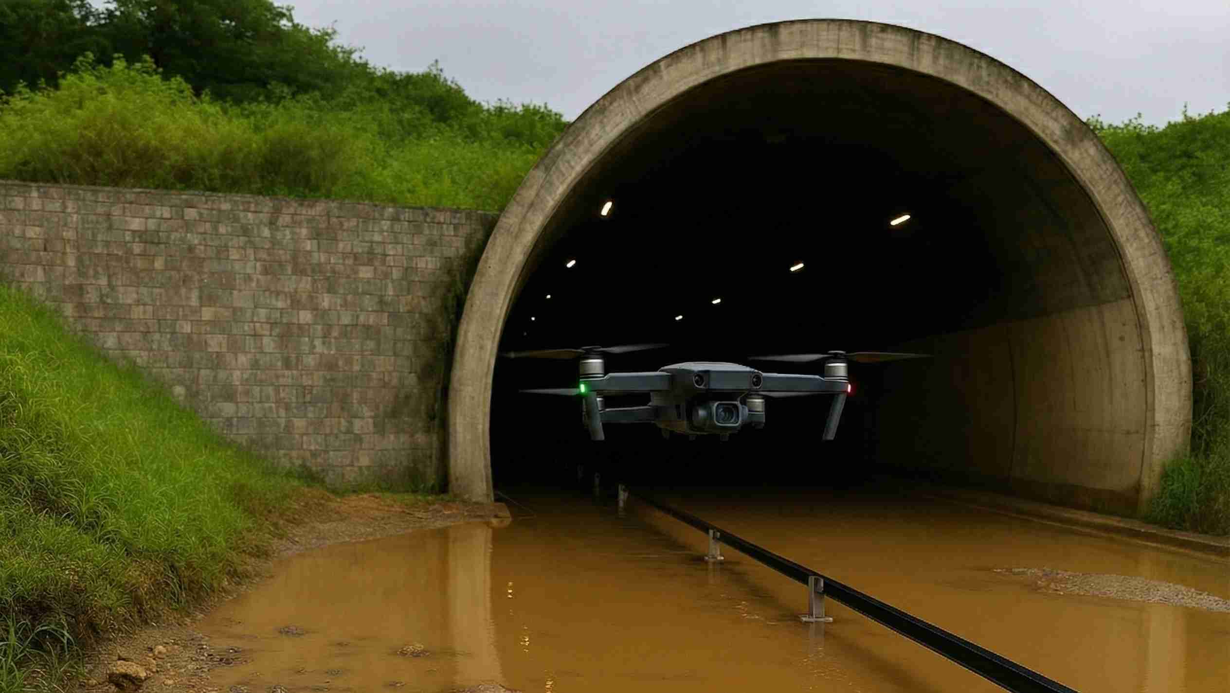
Providing street flood warnings using sensor data and UAV imagery.
Underground structure monitoring using LiDAR +IR.
Monitoring surface temperature and urban heat island effects using dual-sensor UAVs (RGB + Thermal).
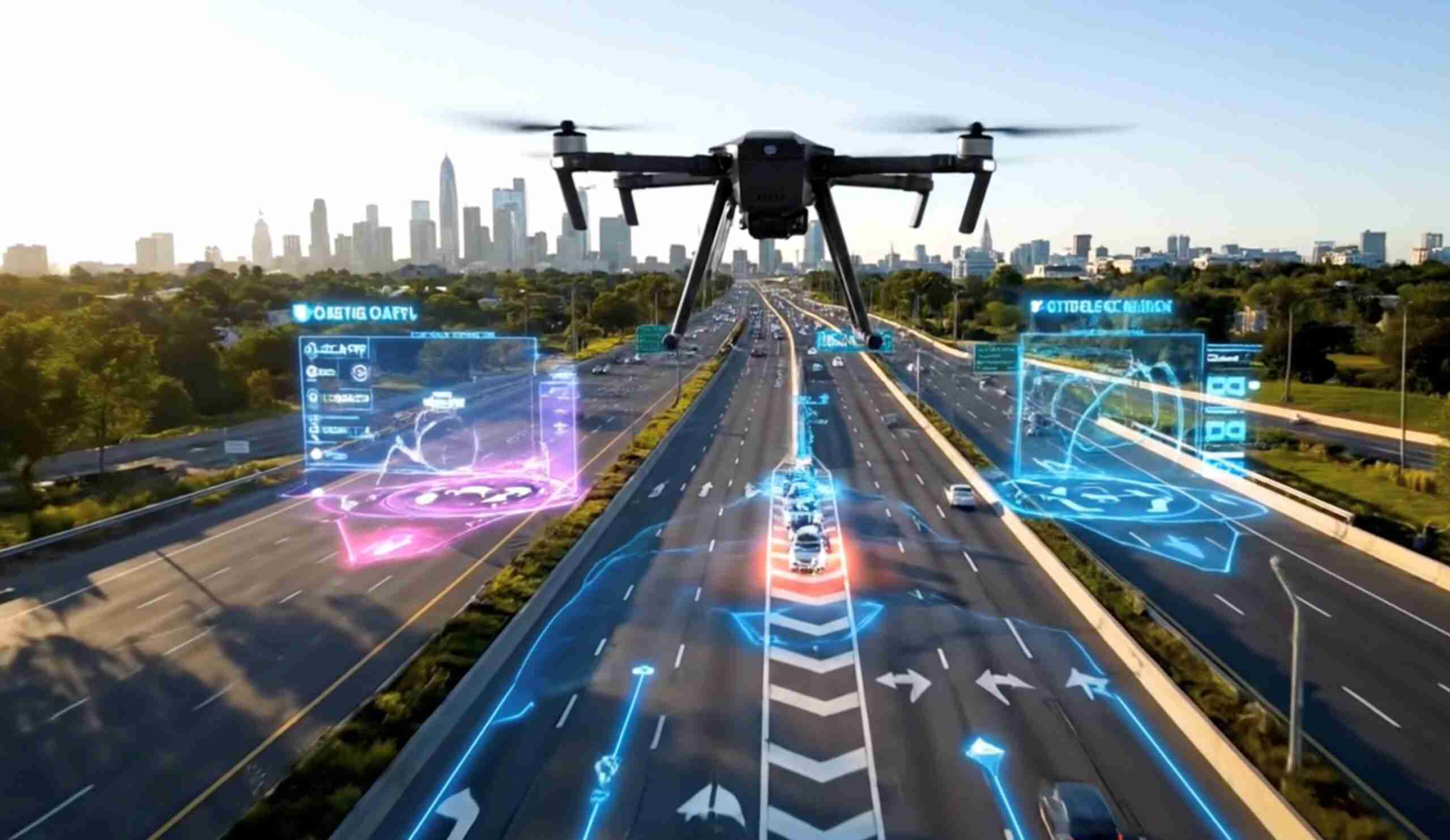
Monitoring congestion and accidents using AI UAVs with instant alerts to traffic control centers.
Managing traffic in real time using AI-enabled UAVs to monitor flow and detect congestion.
Measuring vehicle density at intersections using AI UAVs to count vehicles and optimize signals.
Urban heat island monitoring via dual-sensor UAVs.
Real-time traffic with AI UAV.
Vehicle counting for signal optimization.
Integration of UAV data into intelligent traffic management centers.
4. Urban infrastructure & transportation works management
Bio-Security Monitoring & Urban Contagion Simulation System.
High-speed/traditional rail maintenance inspection by UAV.
Monitoring metro constructions using VTOL UAVs with LiDAR and infrared sensors for deformation detection.
Tracking overpasses and railways using UAVs with LiDAR and thermal cameras to detect cracks and corrosion.
Monitoring underground drainage systems using LiDAR UAVs to detect blockages and subsidence.
Assessing urban noise using UAVs with directional microphones and acoustic sensors.
5. Urban Response & Emergency Management
Monitoring smart parking lots using AI UAVs to identify available spots and detect violations.
Monitoring public lighting systems using infrared UAVs to detect faulty lights or leaks.
Assisting navigation for rescue UAVs using thermal and LiDAR sensors in fire or collapse zones.
Post-storm localized flooding street survey.
Monitoring flight corridors using LiDAR and radar UAVs to scan 3D space and detect obstacles.