/Applications & Services
Digital Transformation & Smart Infrastructure

1. Automated Flight & Reporting Systems

Automated post-flight report generation featuring 2D/3D maps, volumetric data, and visual dashboards.
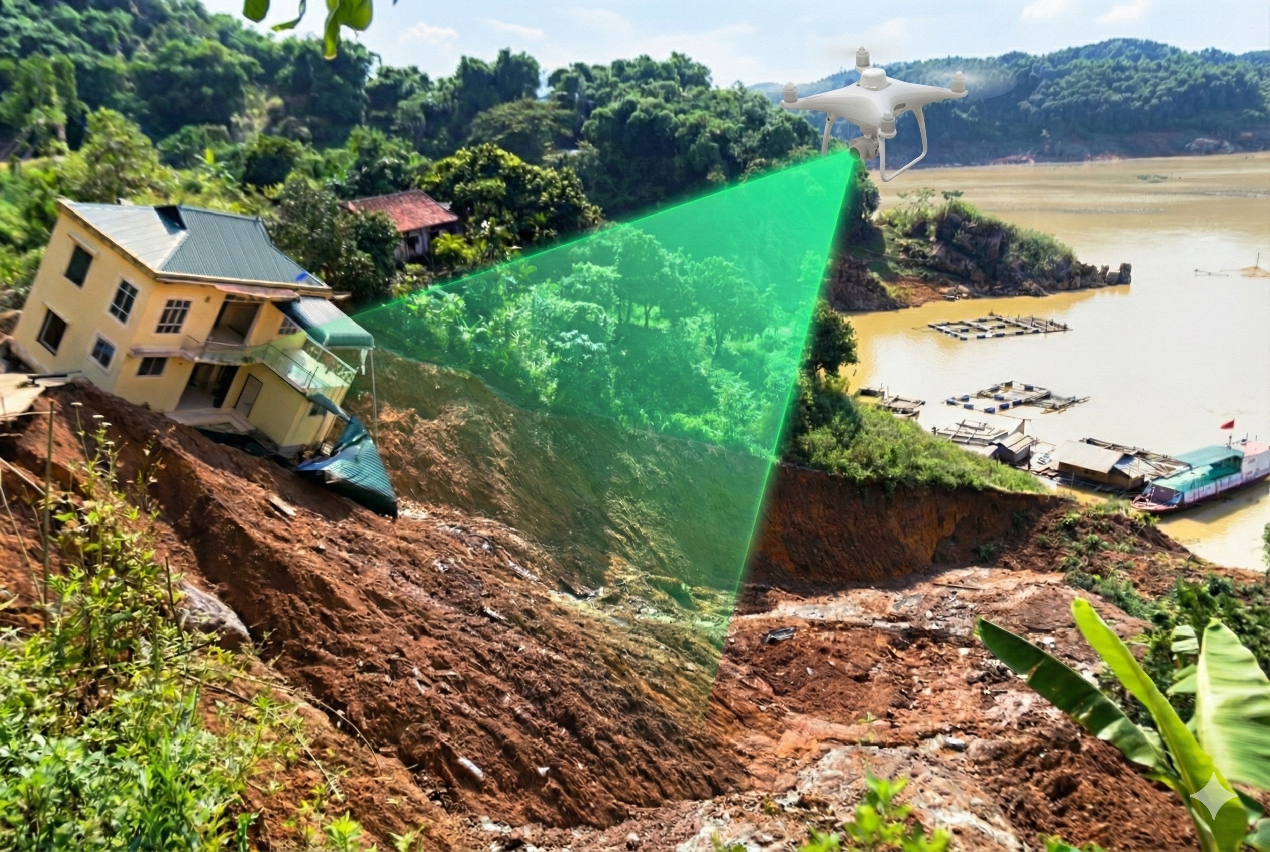
Risk-zone classification (flood, subsidence, landslide) using UAV topographic and multispectral data for planning and early warning.
Automated UAV flight mission planning defining altitude, angle, overlap, and optimal routes for efficient data capture.
2. Comprehensive Spatial Digitization
Building a Digital Twin model of the seaport using UAV LiDAR wide-area 3D scanning.
High-resolution 2D/3D mapping of urban areas, factories, and industrial zones for infrastructure management and planning.
Analyzing UAV spatial data with GIS/DTIS platforms to optimize land use, resource allocation, and infrastructure planning.
Digital Twin generation from UAV data for real-time simulation of infrastructure, power lines, pipelines, or residential areas.
U‑space Digital Twin Class (U-space Digital Twin).
Digital Twin infrastructure from UAV / UAV-to-DigitalTwin.